Monday, September 24, 2018
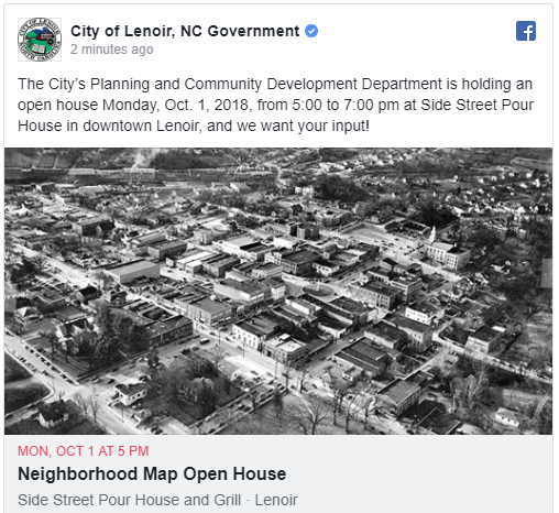
The City of Lenoir’s Planning and Community Development Department is holding an open house Monday, Oct. 1, 2018, from 5:00 to 7:00 pm at Side Street Pour House in downtown Lenoir. The purpose is to get public input on the first draft of a Neighborhood Map of Lenoir.
The Neighborhood Map will record for the first time in a somewhat official manner the commonly known names of places within our community – “Smith Crossroads,” “Ned Jones Hill,” “Lerinco,” “Whitnel,” “West End,” “Miller Hill,” “Harpertown,” “Tremont Park,” “Prestwood Heights.”
Knowing where cohesive neighborhoods exist in residents’ views will help staff prepare more meaningful public meeting notices as well as protect community character. Staff also could use the map to inform zoning decisions and public outreach for current planning projects.
“This map isn’t intended to be regulatory in any way,” Planning Director Jenny Wheelock said. “It will be used as a tool for future neighborhood plans, beautification and branding projects, etc.”
Wheelock said she has three main reasons for creating the Neighborhood map.
“We want to know where our neighborhoods are, because if we’re going to plan for our future, we need to know where we come from,” she said. “We want new residents to know the community, and we want to provide a shared sense of place and history for our residents.”
Names are important, especially when it comes fostering a love for the place you live, Wheelock said.
“If you don’t have a name, how are you going to tell people how great your neighborhood is?” Wheelock said.
If you live in Lenoir and are interested in our neighborhoods, come out and give your input. We want you to be involved, and we appreciate your feedback!
20180924-Staff_seeking_input_on_neighborhood_map.pdf
On the City website at https://bit.ly/2OMsz2h.